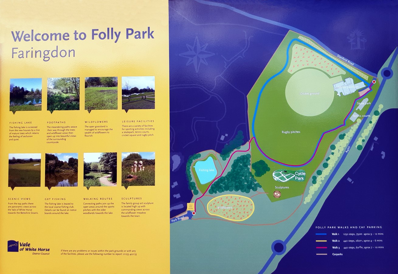
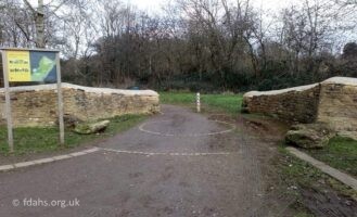
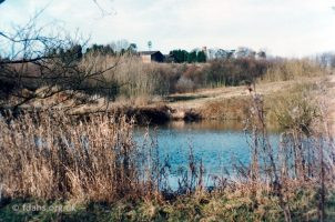
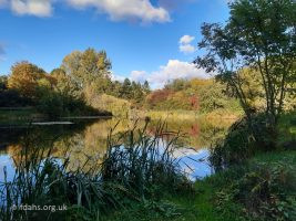
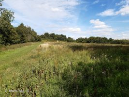
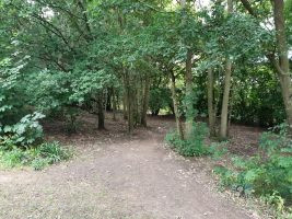
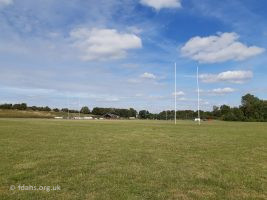
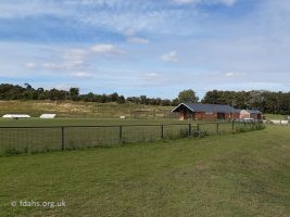
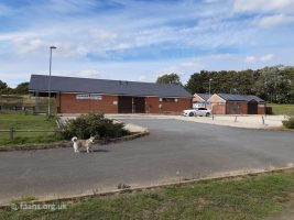
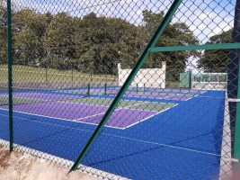
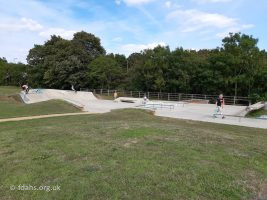
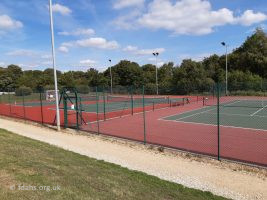
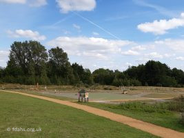
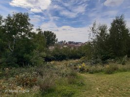
 Folly Country Park started as a 10 acre site situated on the slopes of Jespers Hill to the east of the town centre between Stanford Road and Park Road. The park can be accessed via Palmer Road and Clements Way off Park Road with ample space for car parking. Work started on the site towards the end of 2002. It was created for the new millennium to provide a stepping stone for residents and visitors to enjoy a co-ordinated network of walks and leisure activities in a range of landscape types. There are woodland and grassland walks, including one around a small fishing lake, with a picnic area and park benches. The fishing lake was once an old clay pit filled with water and now looked after by Faringdon Angling Club (photos below). From the top paths there are panoramic views across the Vale of White Horse towards the Berkshire Downs. In 2012, the park was extended towards the Stanford Road to provide a variety of sporting facilities, which include a cricket pitch, rugby pitch, tennis courts, skate park, and sports pavilion. A cycle park was added recently for young children to practise their road sense. There are now two entrances to the park on Stanford Road. A short walk up the road and you will find a footpath on the right leading up the hill to Faringdon Folly (¼-½ mile).
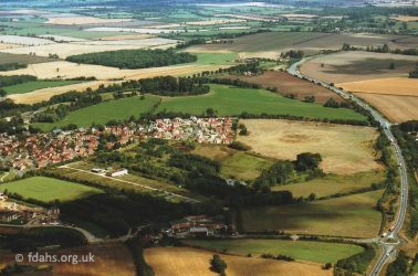 2000. The site before the country park was created on Jespers Hill. The pale coloured field to the right of the new housing estate later became the sports field. In the centre of the field, the ‘Old Sand Pit’ that appears on old maps of the area is still visible. It is now the club house and cricket field. The field boundary beyond marks the route of Stanford Road, which has been cut off by the bypass. Coming down through the trees is the ‘Old Clay Pit’, also marked on old maps and now filled with water. Park Road is crossing the foreground to the roundabout on the bypass; with Oriel Cottages, factories and garage dead centre. The new Volunteer Way, once a footpath to the end of Southampton Street is bottom left. The old cricket ground and whole area behind is now another housing estate. Funding for the original park of £104,500 came largely from the Countryside Agency, as well as from other local sources. When the developers later built on the old cricket field one assumes that they aided the funding of the new sports park on the top of Jespers Hill as part of the deal.
Researched and compiled by Ian Lee, July 2020.
