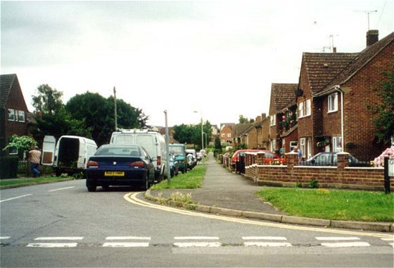
In the early 1900s, houses were mainly strung along the roads in the central area of the town and was much as it is now although a few buildings have since been demolished and rebuilt. There were also a few houses well spaced further out of town along the exit roads. As the century progressed the gaps were slowly filled in by locally-based builders producing ribbon developments, especially along Park Road, Coxwell Road, Highworth Road and Fernham Road. Strangely though, the total population of around 3000 hardly changed since the 1831 census; it dipped around 10% during the 1920s and 30s between the wars, then rose 20% during the post-war baby boom to become only the 3207 recorded in the 1951 census.
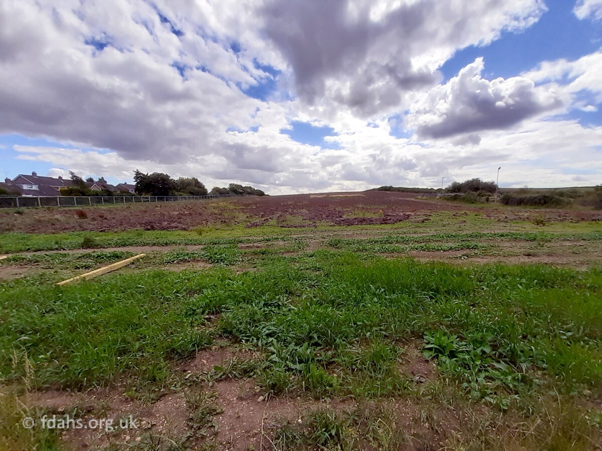
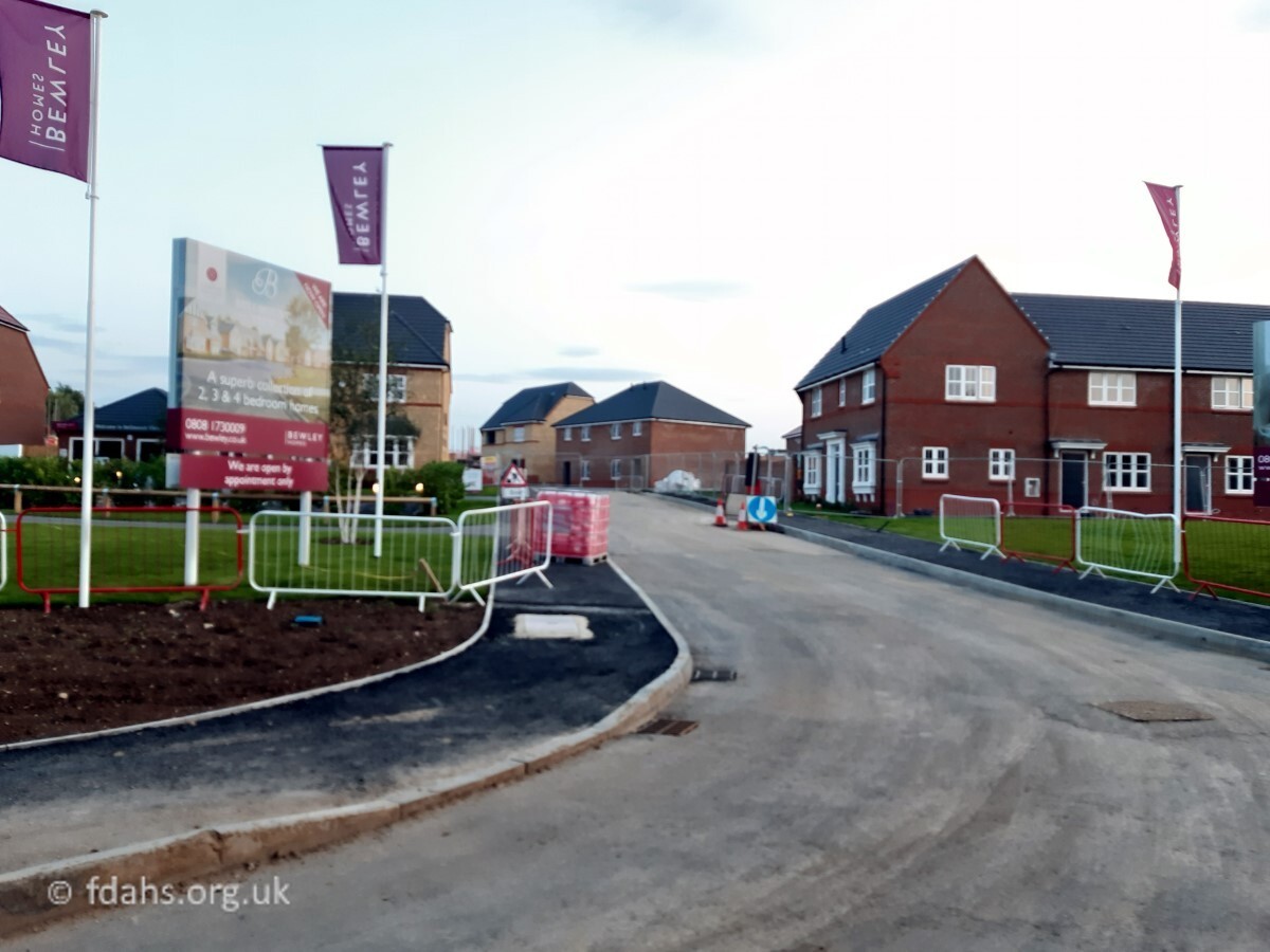
From the late 1940’s, big national building companies started looking at Faringdon and buying up farm land on which to build large housing estates. Also, following the closure of the railway in 1963 industrial developments started to build up along Park Road on the land left behind by the railway.
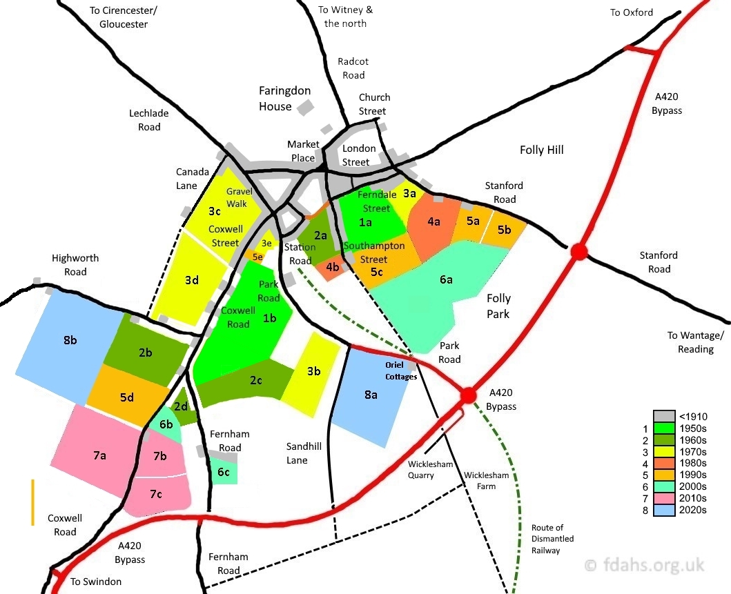
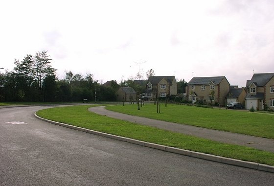
The following is a list of housing estates grouped into decades in which they were built. They are numbered the same as on the map on which each decade is colour-coded. This is a rough guide largely based on memory and old photographs so may not be completely accurate.
1940s/50s (pop. c3¼k)
1a. Goodlake Avenue, Bennett Road & Pye Street (south off Ferndale Street)
1b. Marlborough Gardens (south off Park Road)
1960s (pop. c3½k)
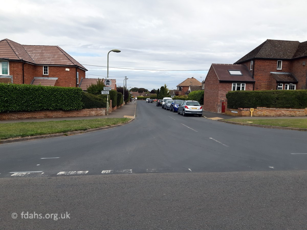
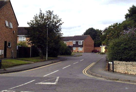
2a. The Lees & Westbrook (west off Southampton Street)
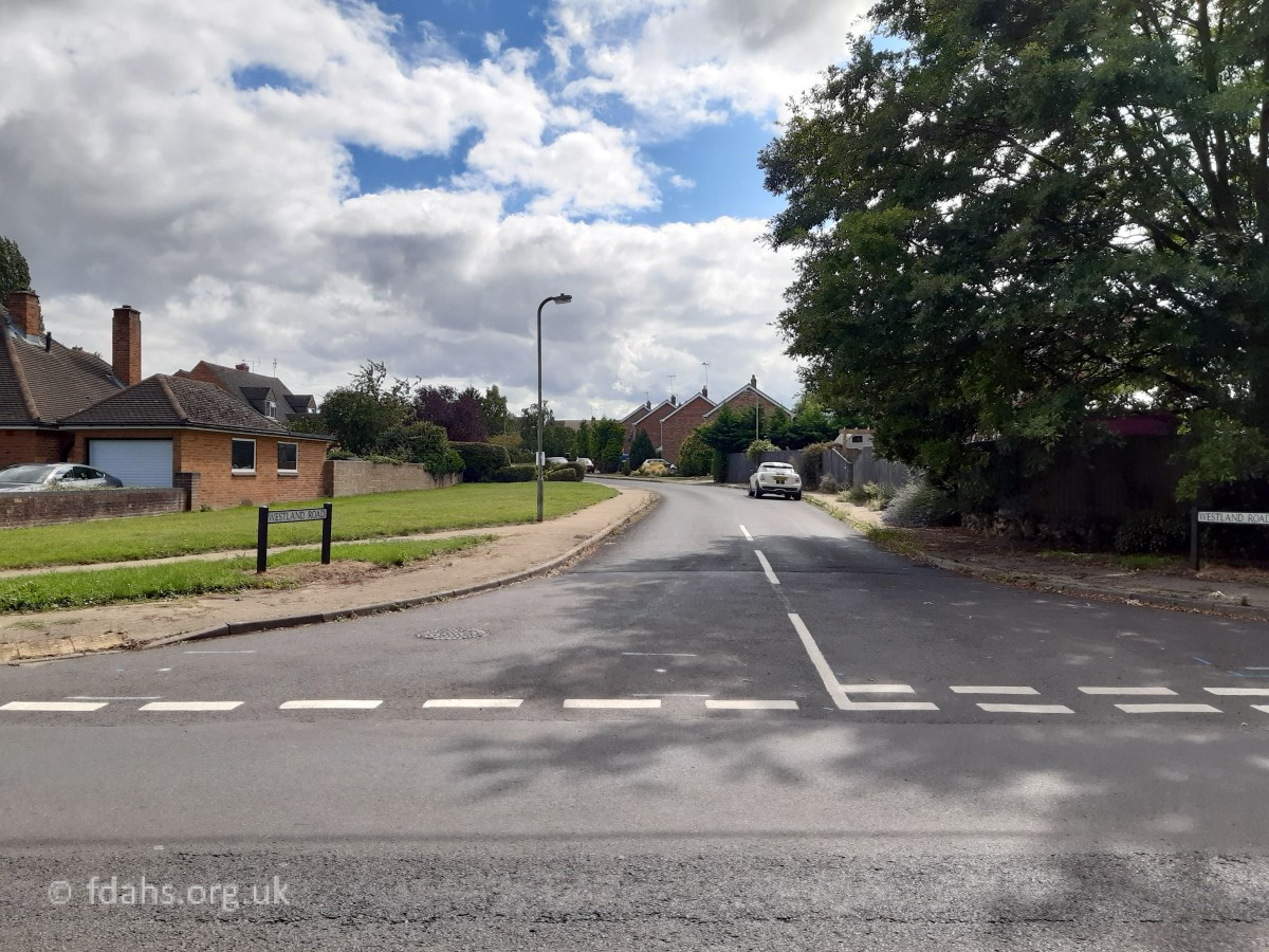
2b. Westland Road (south off Highworth Road)
2c. Folly View Road & Leamington Drive (east off Fernham Road)
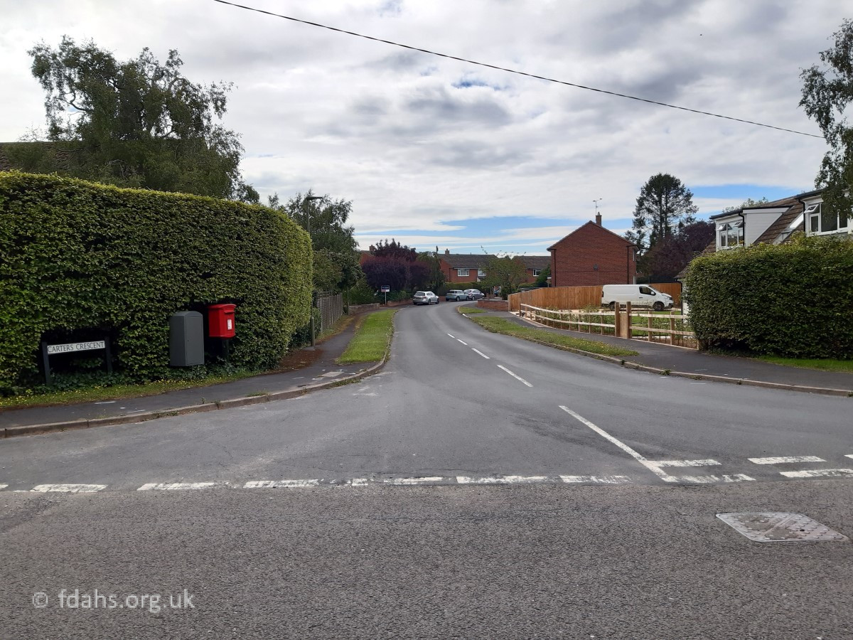
2d. Carters Crescent (west off Fernham Road)

1970s (pop. c3½-4½k)
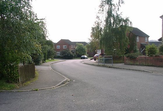
3a. Lansdown Road & Brackendale Sheltered Housing (south off Ferndale Street – old workhouse site)
3b. Marines Drive & Town End Road (off Butts Close)
3c. The Pines (east off Canada Lane)
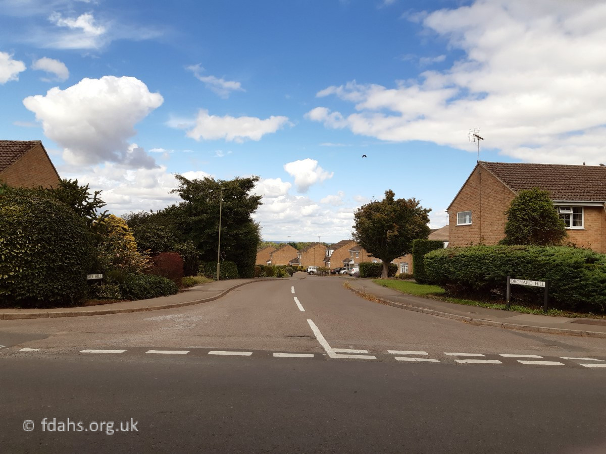
3d. Orchard Hill (north off Highworth Road)
3e. Eagles (west off Park Road)


1980s (pop. c4½-5k)
4a. Berner’s Way – top section (south off Stanford Road)
4b. Willes Close (west off Southampton Street – old school site). This was a self-build scheme in 1988 where residents built their own homes. It was named after the headmaster of the Faringdon Secondary
Modern School, who was the rather fearsome Arnold Willes.
1990s (pop. c5-6k)
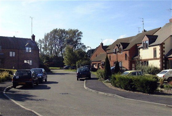
5a. Tuckers Road (south off Stanford Road past Berner’s Way)
5b. Nursery View (south off Stanford Road past Tuckers Road)
5c. Berner’s Way – bottom section (south off Stanford Road)
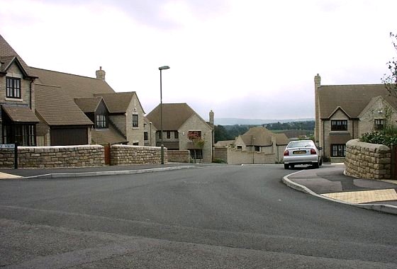
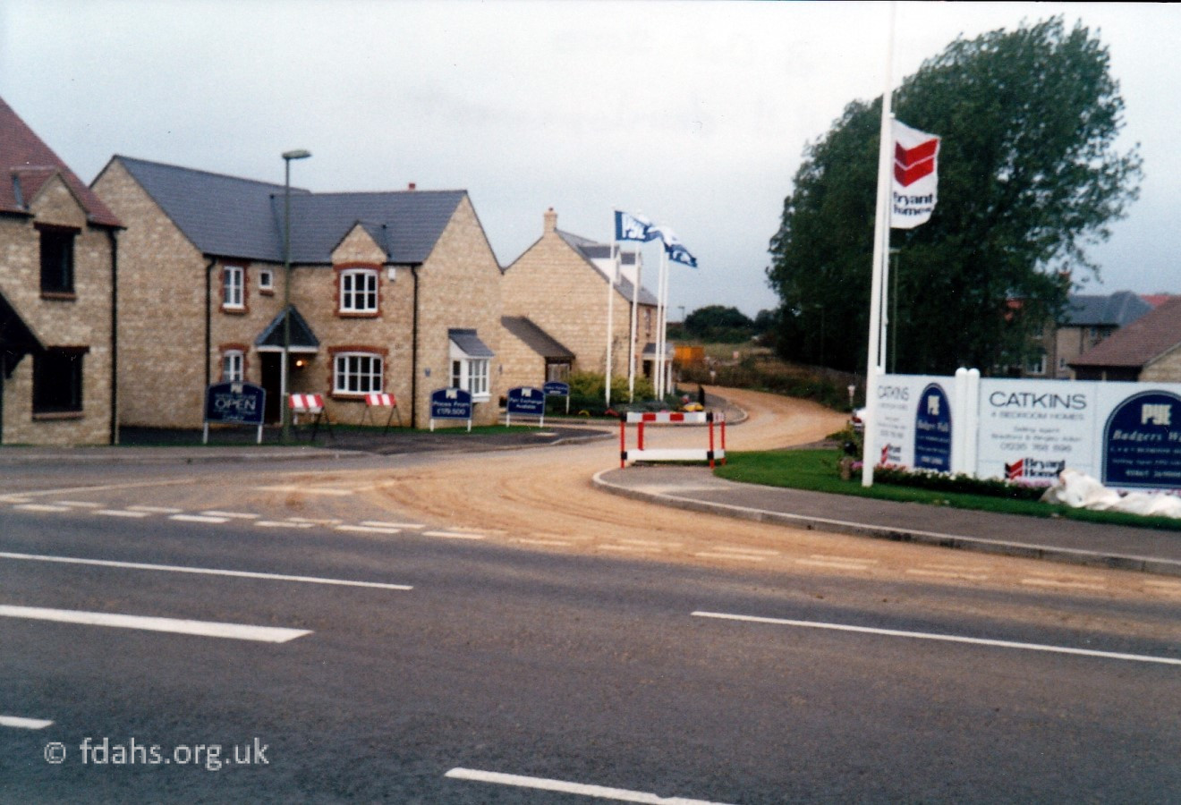
5d. Badger’s Walk – Coleshill Drive (west off Coxwell Road)
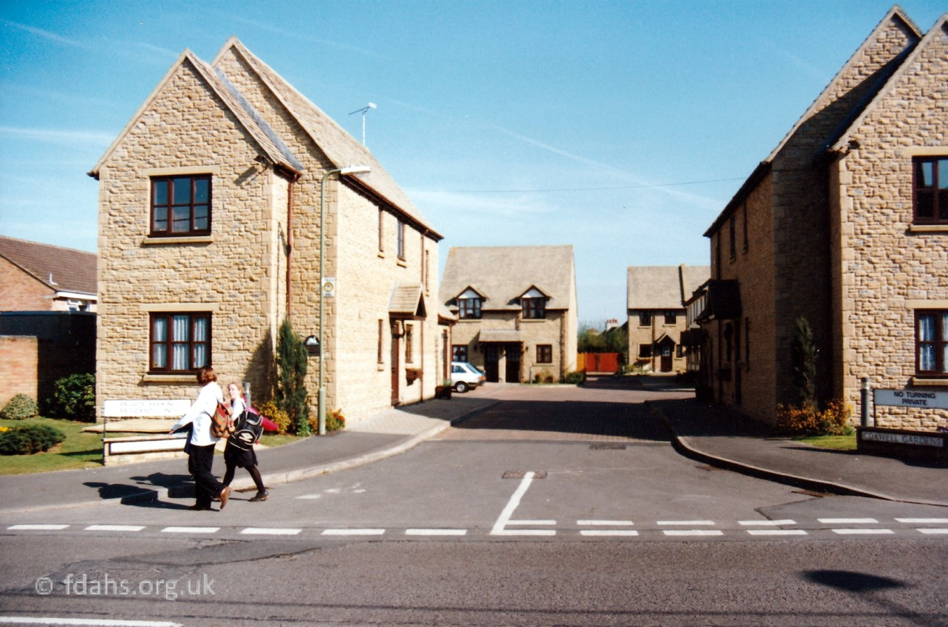
5e. Coxwell Gardens (east off Coxwell Road)
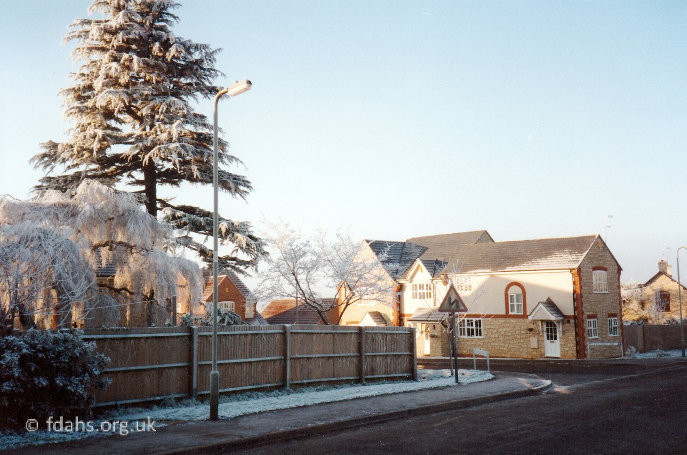
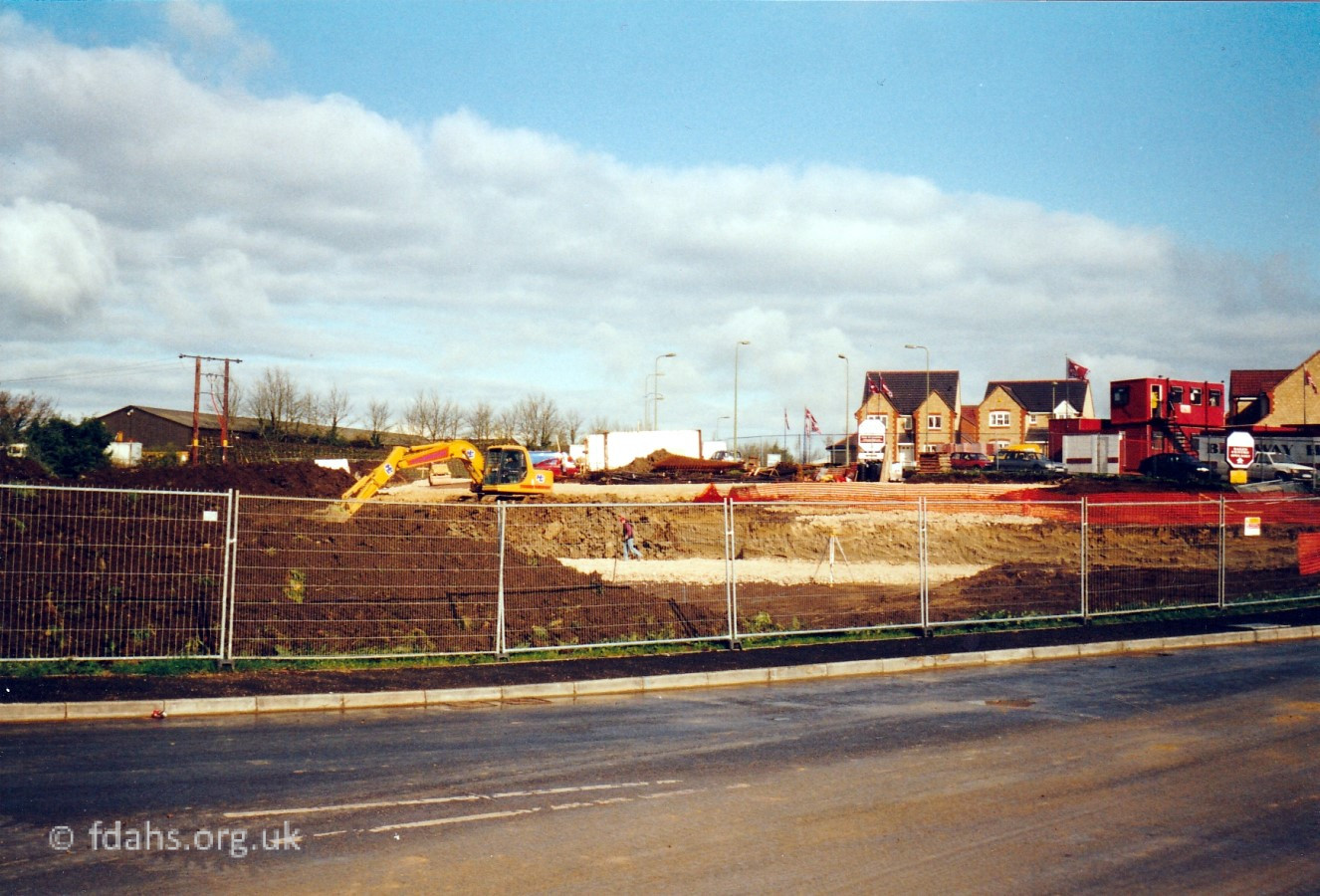
2000s (pop. c6-7k)
6a. Volunteer Way & Palmer Road (north off Park Road)
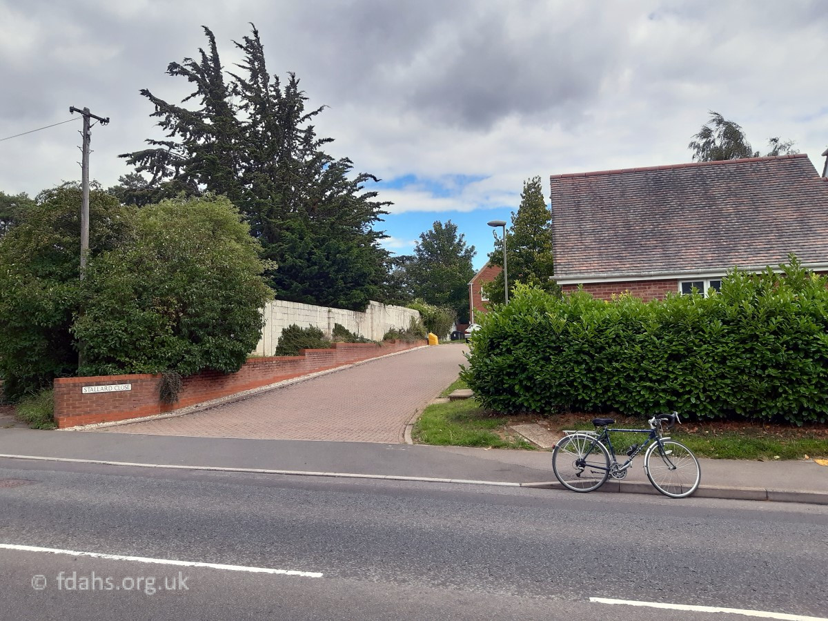
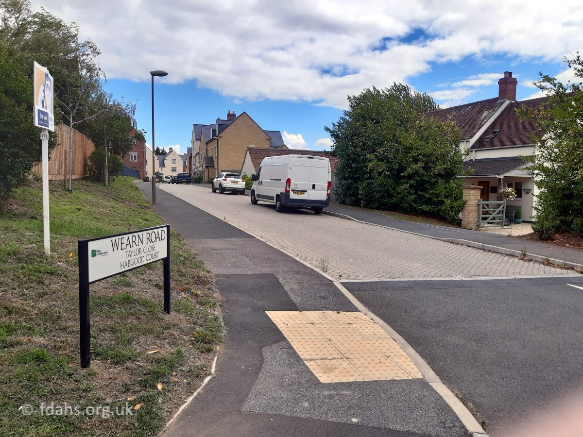
6b. Stallard Close & Wearn Road (east off Coxwell Road)
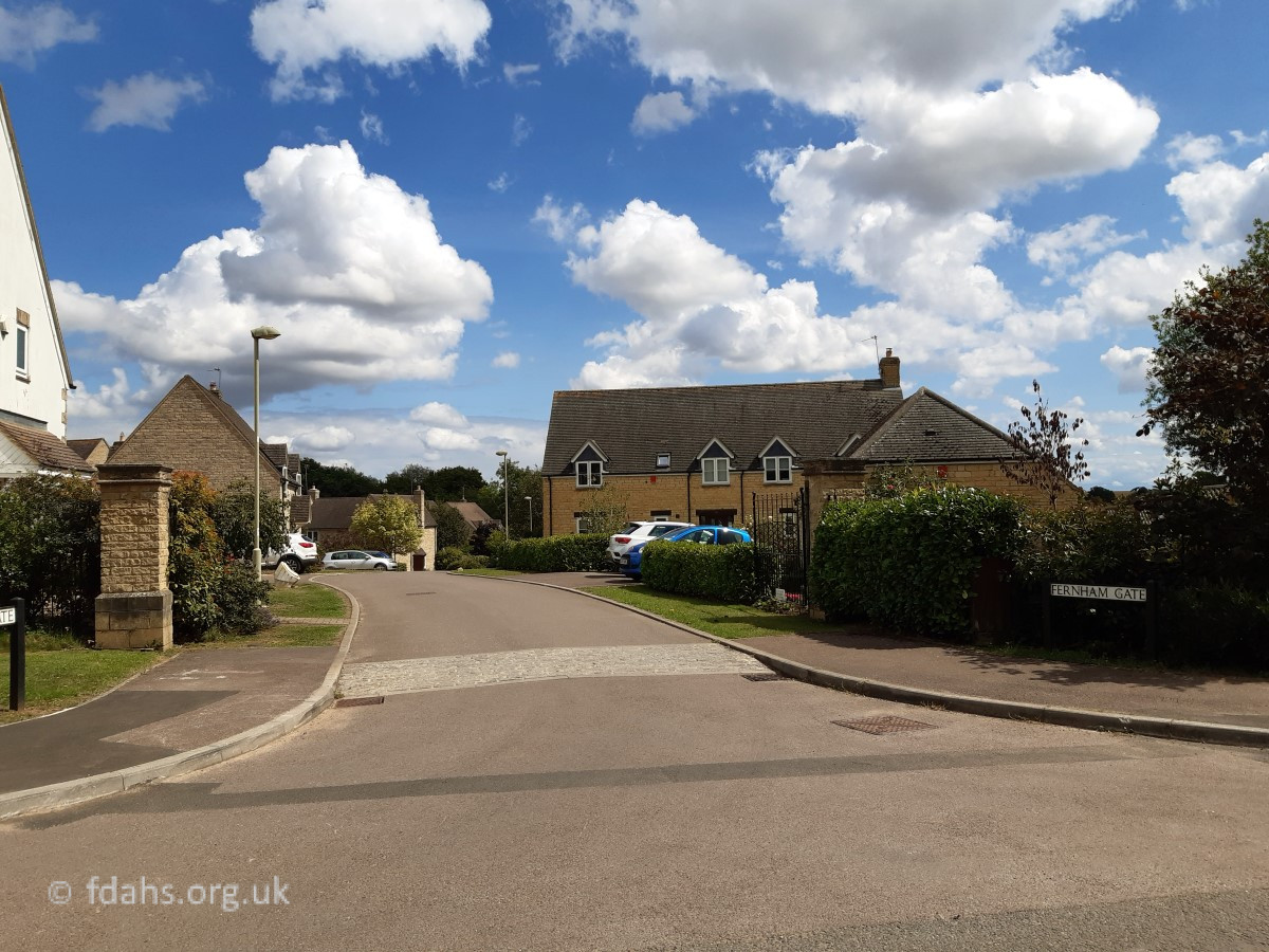
6c. Fernham Gate (east off end of Fernham Road)
2010s (pop. c7-10k)
7a. Fern Hill Gardens – Holmes Road (west off Coxwell Road)
7b. Faringdon Fields – Ampthill Way (east off Coxwell Road)
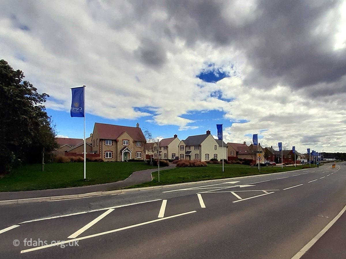
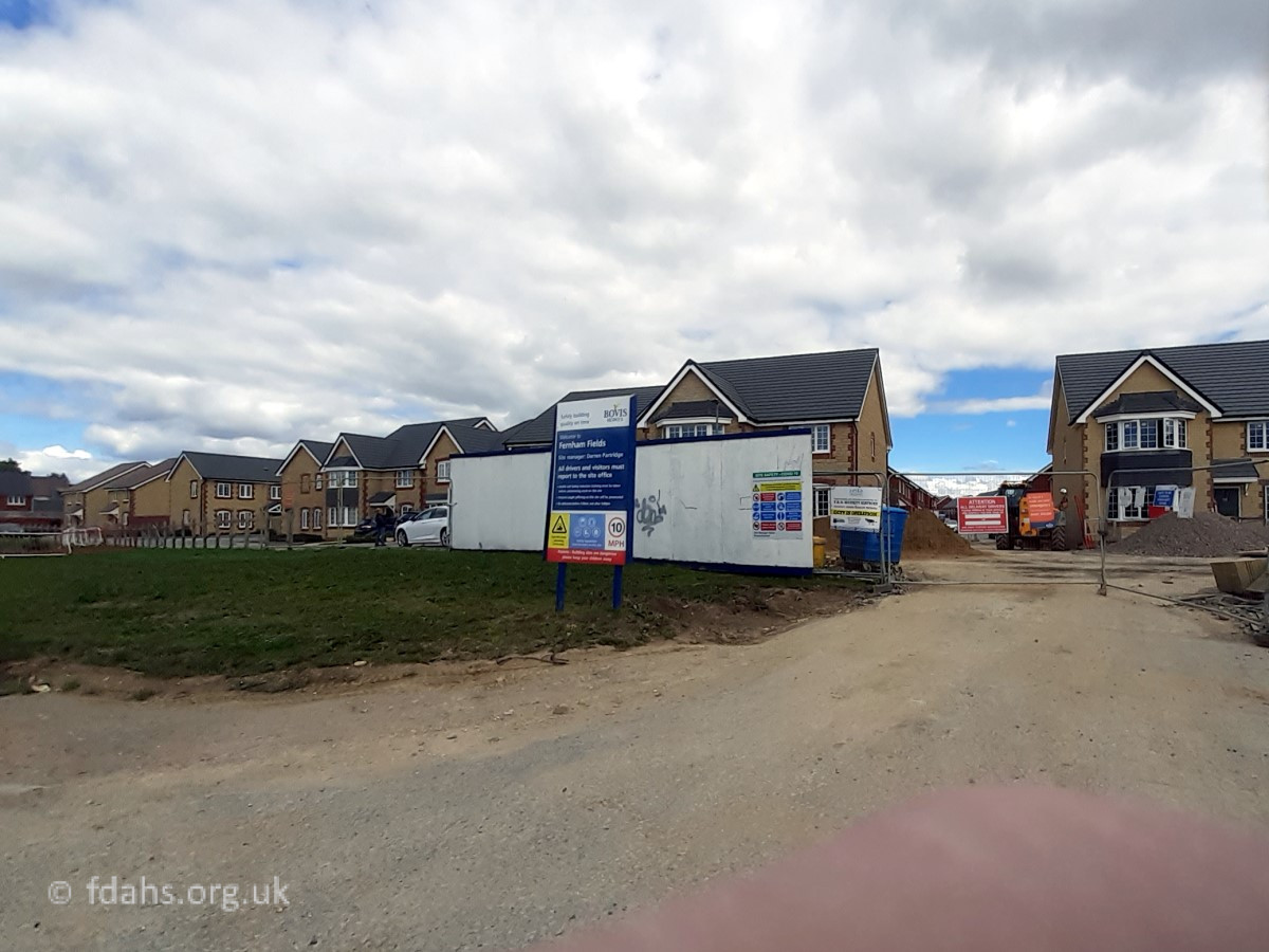
7c. Fernham Fields – Blackthorn (east off Coxwell Road)

2020s (pop. c10-12k+)
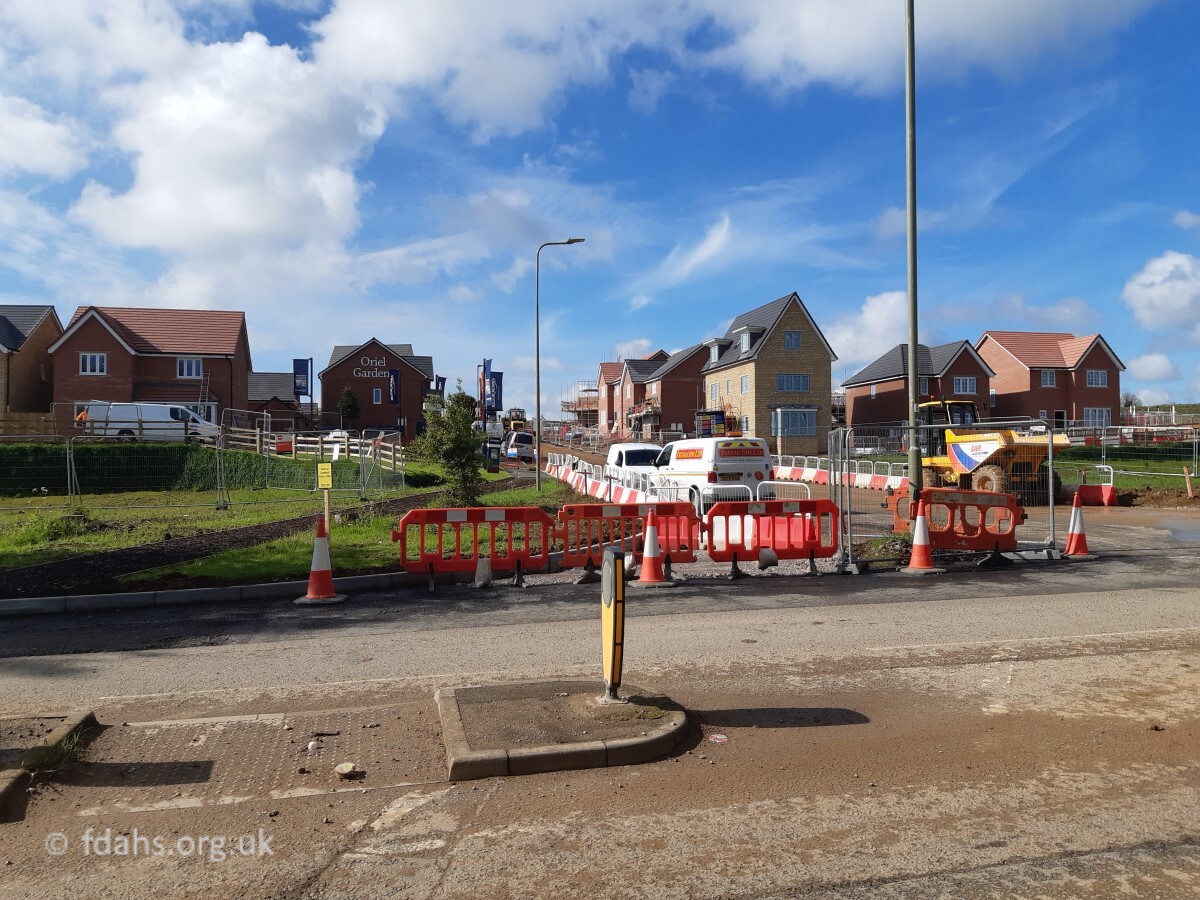
8a. Oriel Gardens (right off Park Road past Sandhill Lane)
8b. Bellmount View (left off Highworth Road past Westland Road)
Researched by Ian Lee, July 2020.